
Pro Catalog (Enterprise / Pro / Ag) List
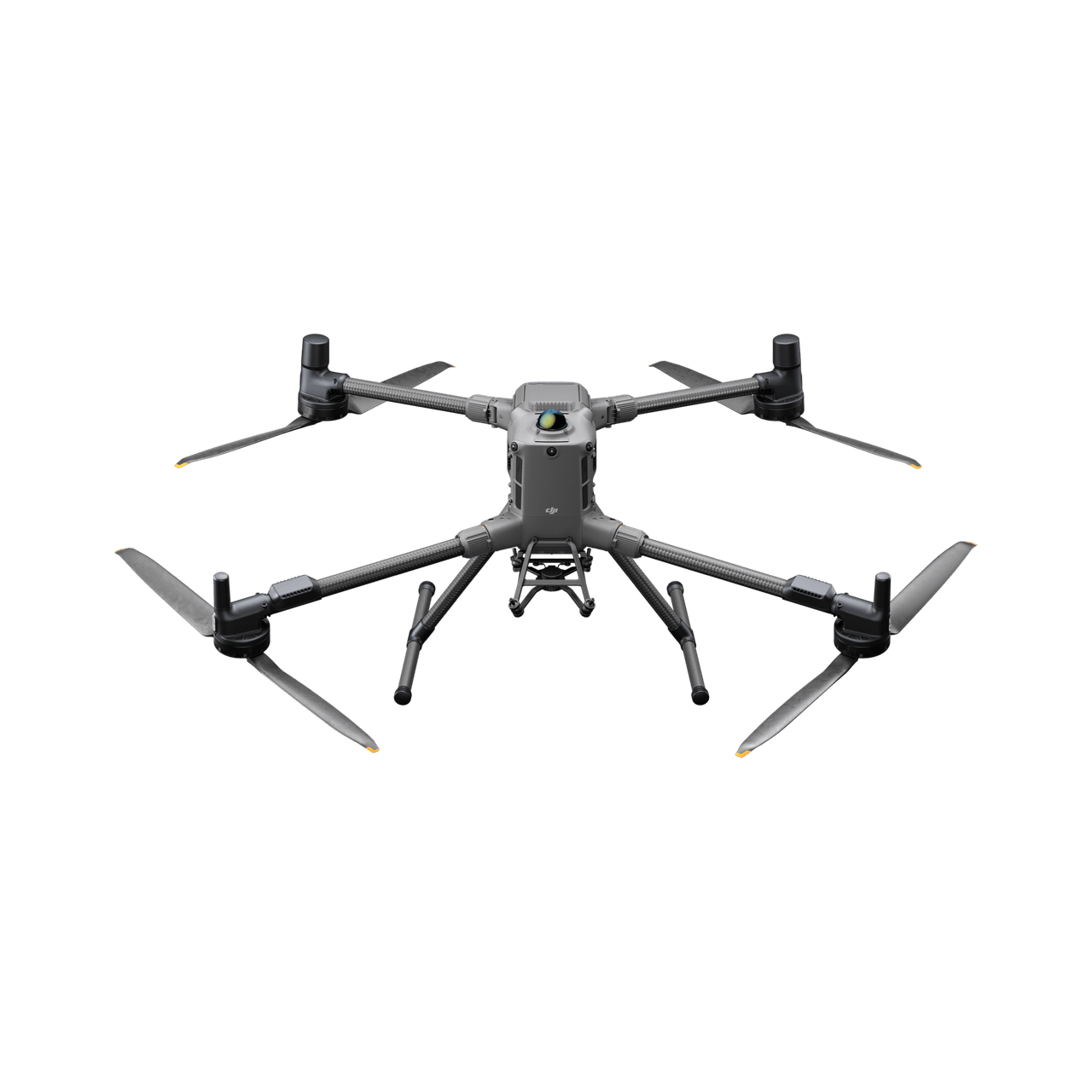
DJI Matrice 400
DJI's heavy-lift enterprise flagship and successor to the M350 RTK. Long endurance, multi-payload capable, built for mapping, LiDAR, and inspection programs.
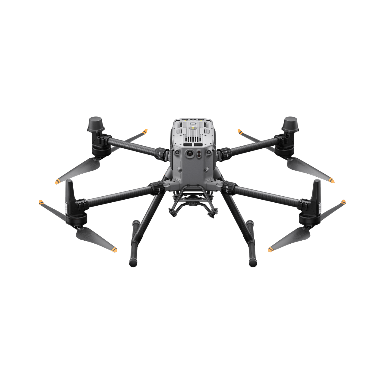
DJI Matrice 350 RTK
Proven heavy-lift platform many fleets are standardized on. Supports the Zenmuse H, L, and P payload family.
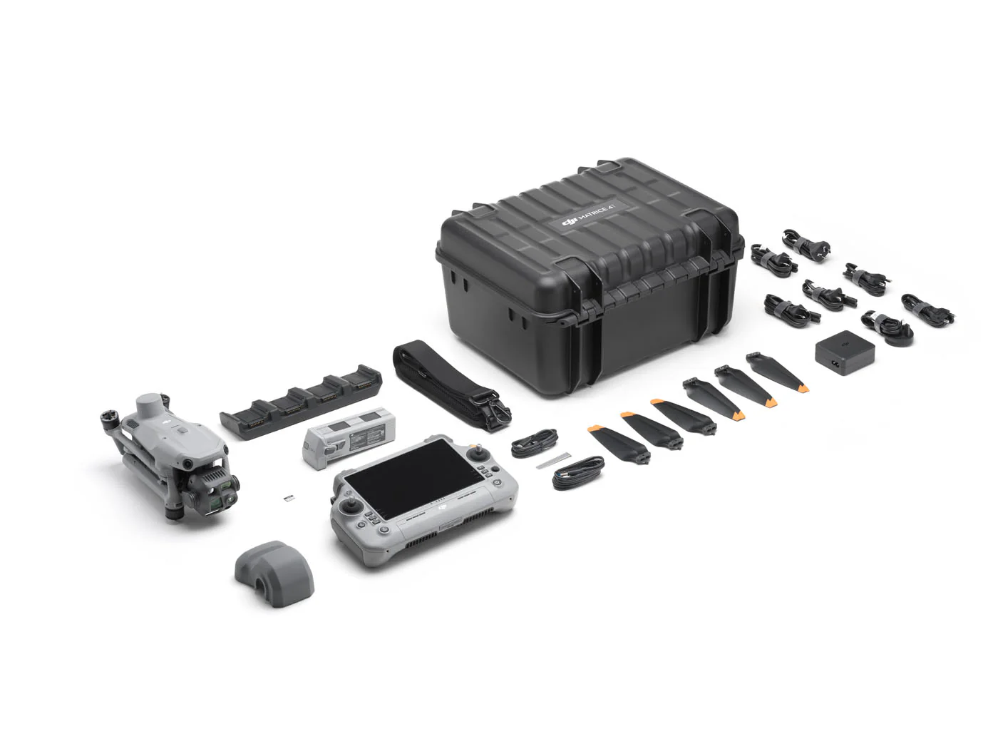
DJI Matrice 4T
Compact thermal platform with wide, zoom, and radiometric thermal cameras plus laser rangefinder. The go-to for public safety and inspection.
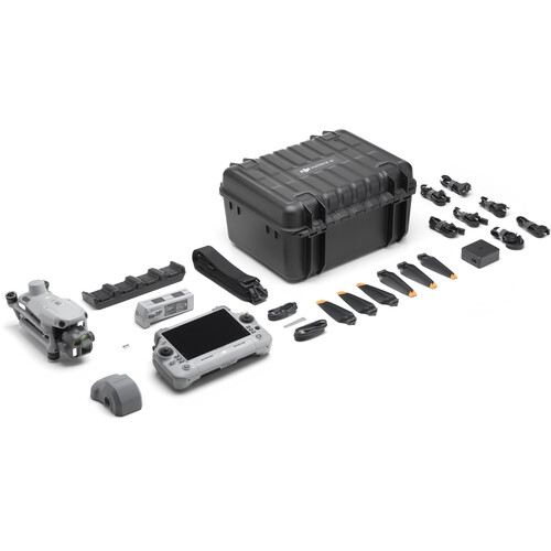
DJI Matrice 4E
Compact mapping and inspection platform with mechanical shutter wide camera and zoom cameras for fast photogrammetry.
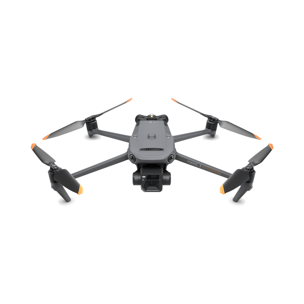
DJI Mavic 3 Enterprise (3E)
Foldable mapping drone with mechanical shutter camera. Lightweight entry point to RTK photogrammetry.

DJI Mavic 3 Thermal (3T)
Foldable thermal drone with zoom and radiometric thermal. Easy to deploy from a patrol vehicle.
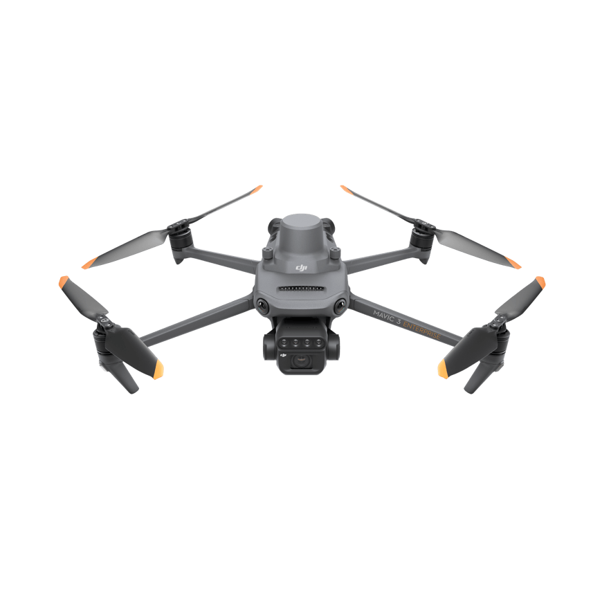
DJI Mavic 3 Multispectral (3M)
Multispectral plus RGB mapping drone for crop health, NDVI, and prescription maps.
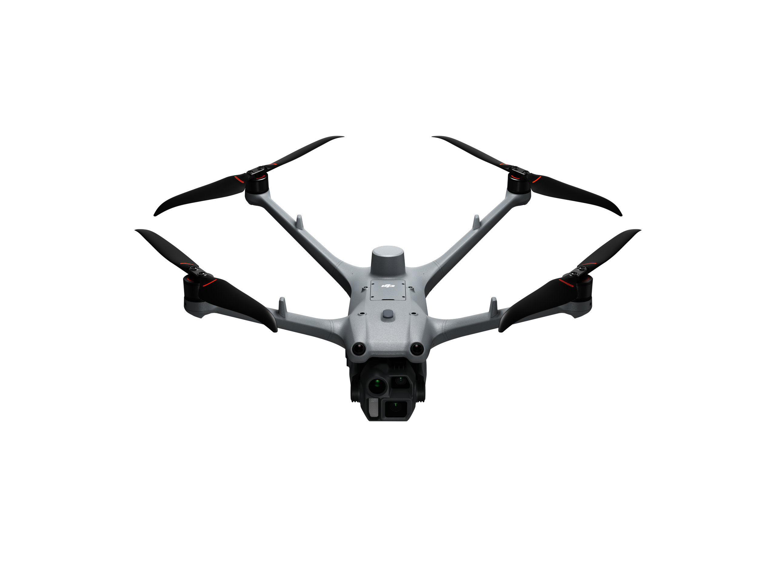
DJI Dock 3 with Matrice 4D / 4TD
Drone-in-a-box for remote, automated missions. Vehicle-mountable, weather-rated, managed through FlightHub 2.
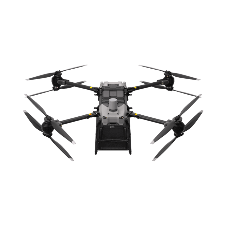
DJI FlyCart 30
Heavy-lift cargo drone with cargo box and winch modes for moving gear over rough terrain.
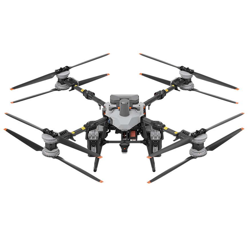
DJI FlyCart 100
Next-generation heavy-lift cargo platform for larger payloads and longer runs.
DJI Zenmuse H30T
Five-sensor payload: wide, zoom, radiometric thermal, laser rangefinder, and NIR auxiliary light. For M350 / M400.
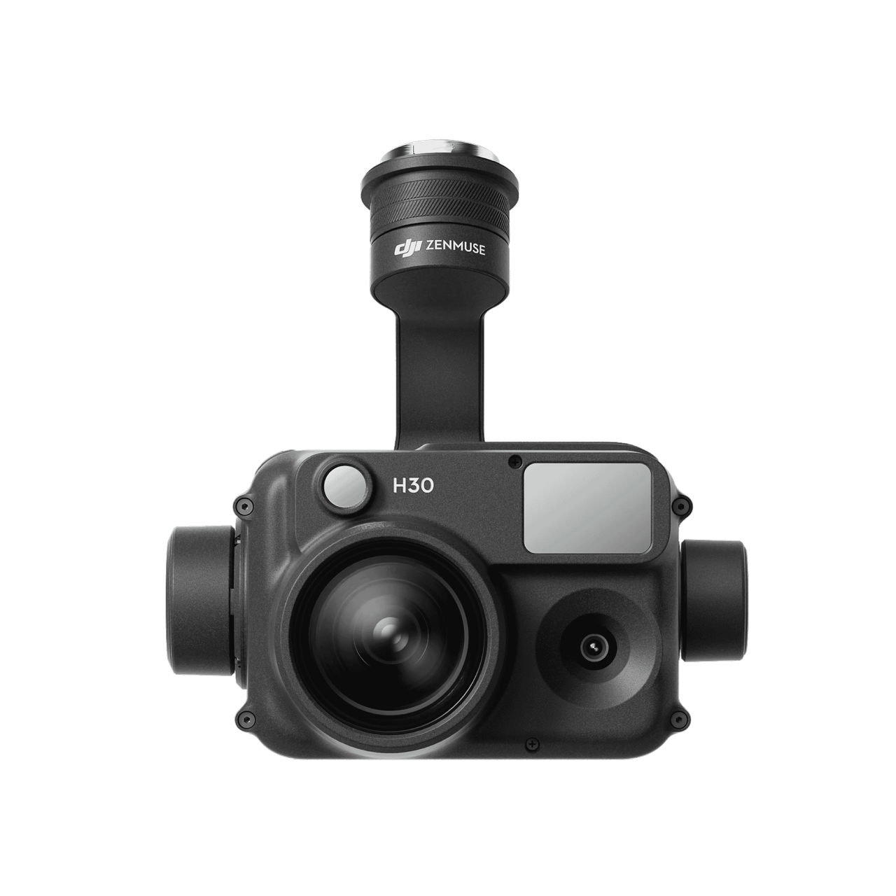
DJI Zenmuse H30
Wide, zoom, and rangefinder payload without thermal for high-detail visual inspection.
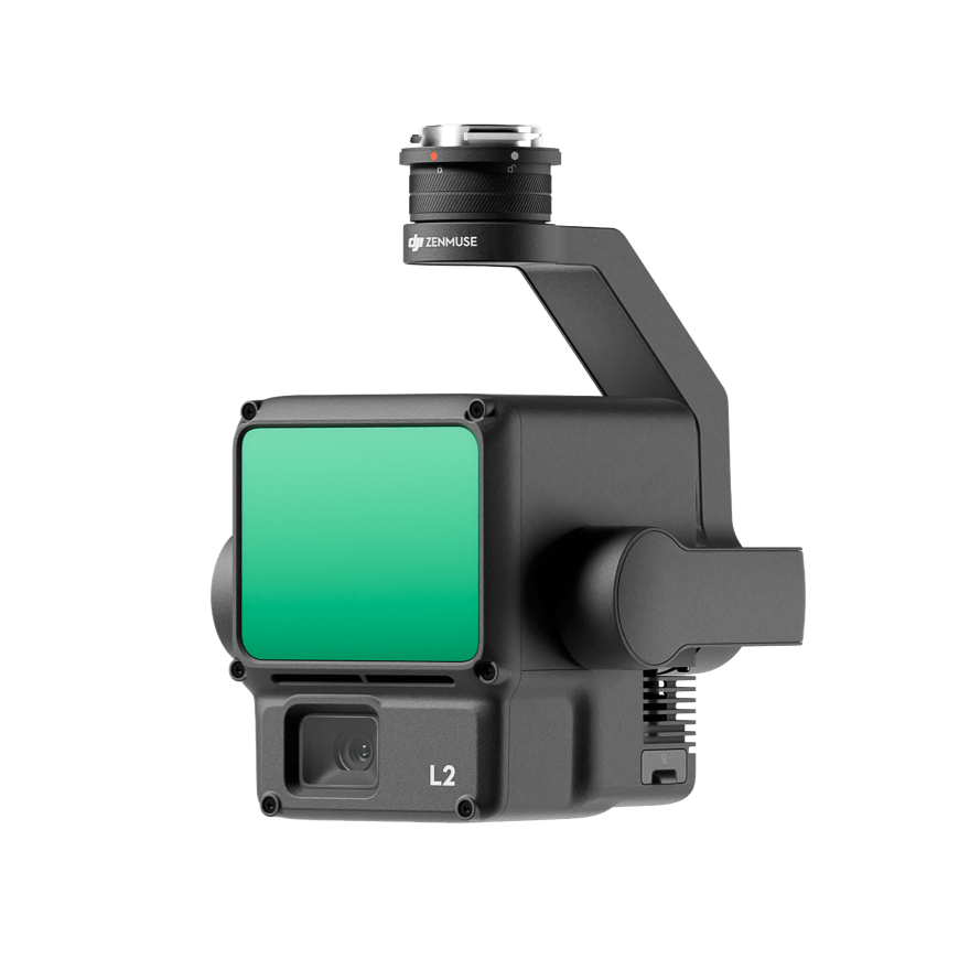
DJI Zenmuse L2
Integrated LiDAR and RGB mapping payload for survey-grade point clouds.
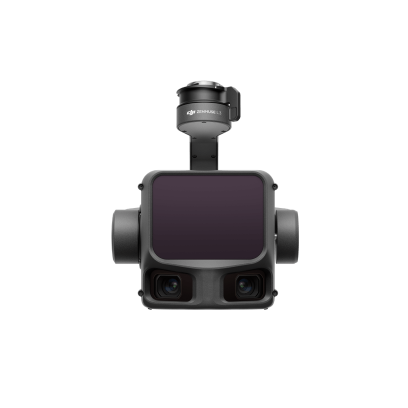
DJI Zenmuse L3
DJI's latest long-range LiDAR payload for high-accuracy mapping at altitude.
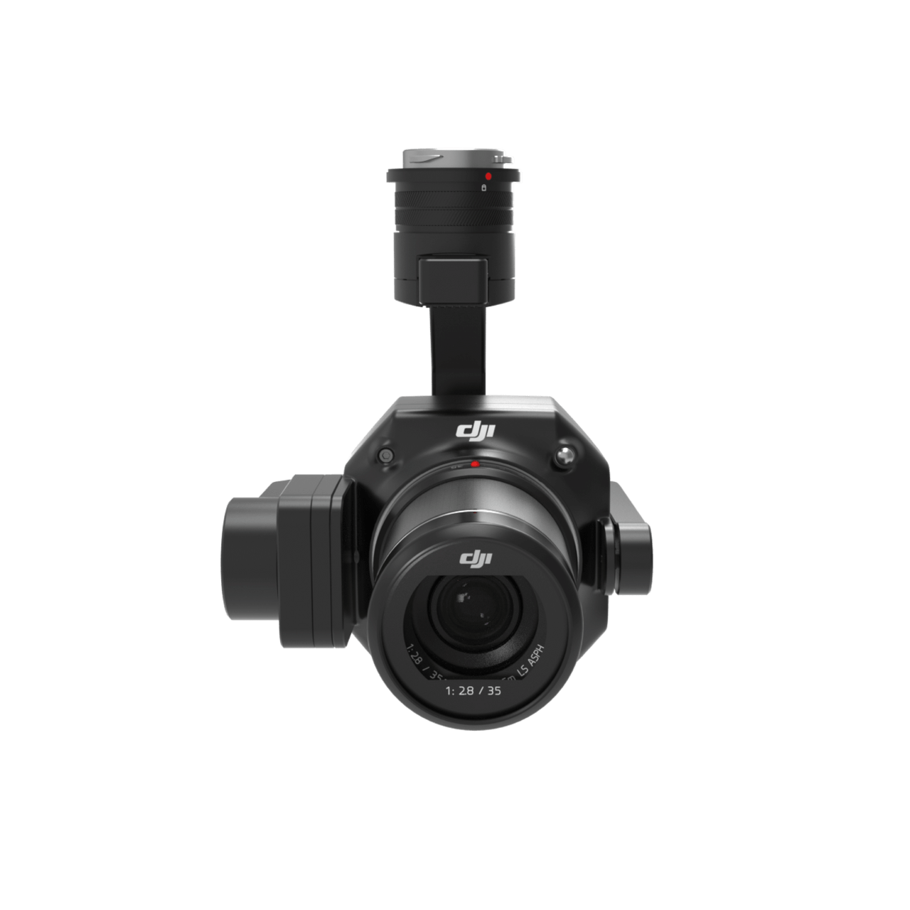
DJI Zenmuse P1
Full-frame photogrammetry payload for high-accuracy 2D and 3D mapping.
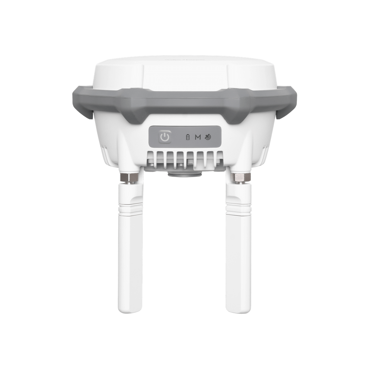
DJI D-RTK 3 Base Station
Multi-function RTK base, relay, and survey station for centimeter-level positioning.