
Innovative Aerial Solutions for Minnesota Businesses
- justin70561
- Sep 23, 2025
- 3 min read
In recent years, aerial technology has transformed the way businesses operate across various industries. Minnesota, with its diverse landscapes and thriving commercial sectors, is embracing these innovations to enhance efficiency, safety, and data accuracy. Drones, in particular, have become indispensable tools for many companies looking to gain a competitive edge. This article explores how Minnesota businesses can leverage innovative aerial solutions to improve their operations and achieve remarkable results.
Exploring Minnesota Drone Services for Business Growth
Minnesota drone services offer a wide range of applications tailored to meet the unique needs of local businesses. From agriculture to construction, real estate to environmental monitoring, drones provide valuable insights and capabilities that were once difficult or costly to obtain.
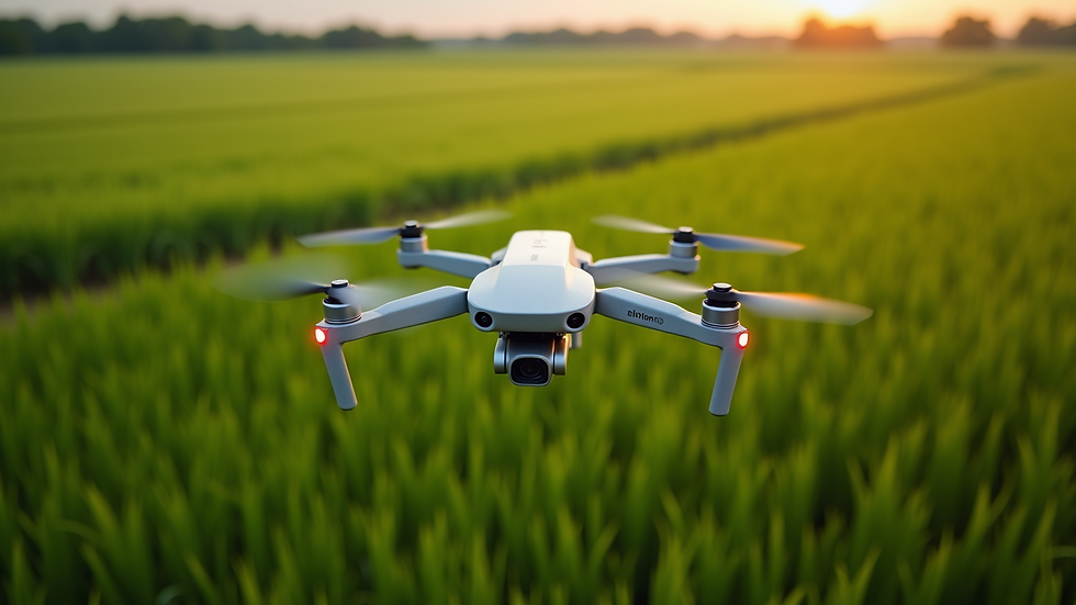
Agriculture and Precision Farming
Farmers in Minnesota are increasingly adopting drone technology to monitor crop health, assess soil conditions, and optimize irrigation. High-resolution aerial imagery allows for early detection of pest infestations and nutrient deficiencies, enabling timely interventions that save resources and increase yields.
Crop scouting: Drones equipped with multispectral cameras capture detailed images that reveal plant stress invisible to the naked eye.
Field mapping: Accurate maps help farmers plan planting patterns and manage field variability.
Irrigation management: Thermal imaging identifies dry areas, ensuring water is applied efficiently.
These applications reduce waste, lower costs, and promote sustainable farming practices.
Construction and Infrastructure Inspection
Construction companies benefit from drone services by gaining real-time aerial views of job sites. This technology improves project management, safety, and quality control.
Site surveying: Drones quickly generate 3D models and topographic maps, speeding up planning and design phases.
Progress monitoring: Regular aerial photos document construction stages, helping teams stay on schedule.
Safety inspections: Drones access hard-to-reach areas such as rooftops and bridges, reducing risks for workers.
By integrating drone data, construction firms can reduce errors, avoid costly delays, and enhance communication among stakeholders.
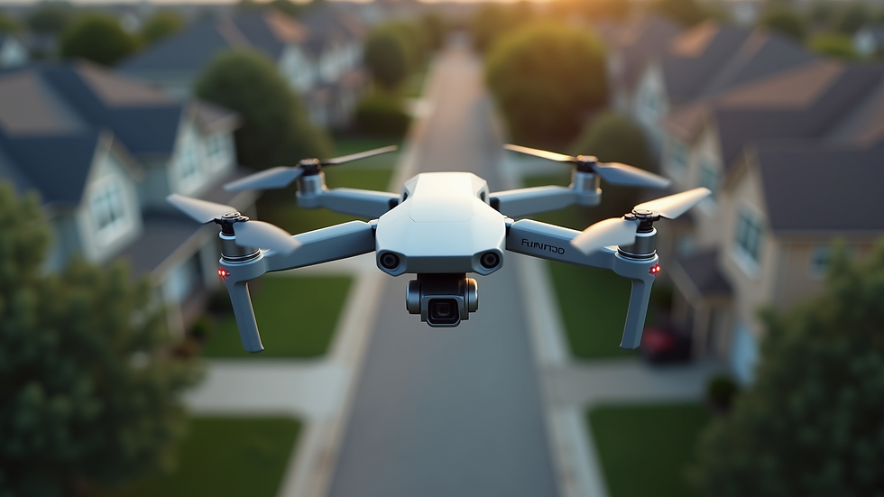
Real Estate Marketing and Property Management
Real estate professionals in Minnesota use drones to showcase properties with stunning aerial photography and video tours. This approach attracts more potential buyers and provides a comprehensive view of the property’s surroundings.
Aerial photography: Eye-catching images highlight property features and neighborhood amenities.
Virtual tours: Interactive videos offer immersive experiences for remote buyers.
Property inspections: Drones assess roofs, gutters, and large estates efficiently.
These services help agents close deals faster and improve client satisfaction.
Environmental Monitoring and Conservation
Environmental agencies and organizations utilize drones to monitor natural resources and track changes in ecosystems. Minnesota’s lakes, forests, and wetlands benefit from this technology in several ways:
Wildlife surveys: Drones collect data on animal populations without disturbing habitats.
Water quality assessment: Aerial sensors detect pollution and algal blooms in lakes and rivers.
Land management: Drones map invasive species and support reforestation efforts.
These applications promote informed decision-making and help preserve Minnesota’s natural beauty.
How to Choose the Right Drone Service Provider in Minnesota
Selecting a reliable drone service provider is crucial for maximizing the benefits of aerial technology. Here are some key factors to consider:
Experience and expertise: Look for companies with a proven track record in your industry.
Certification and compliance: Ensure the provider follows FAA regulations and holds necessary licenses.
Technology and equipment: Verify the availability of advanced drones and sensors suited to your needs.
Data processing capabilities: Choose providers who offer comprehensive data analysis and reporting.
Customer support: Responsive communication and ongoing assistance are essential.
By partnering with a reputable provider, businesses can access customized solutions that deliver measurable results.
Practical Tips for Integrating Drone Technology into Your Business
Implementing drone solutions requires careful planning and coordination. Here are actionable recommendations to get started:
Define clear objectives: Identify specific problems or goals that drones can address.
Train your team: Provide staff with basic drone operation knowledge and safety protocols.
Start small: Pilot projects help evaluate effectiveness before full-scale adoption.
Leverage data analytics: Use software tools to interpret aerial data and inform decisions.
Stay updated: Keep abreast of technological advancements and regulatory changes.
Following these steps ensures a smooth transition and maximizes return on investment.

Embracing the Future of Business with Aerial Innovation
The integration of drone technology is reshaping Minnesota’s business landscape. Companies that adopt these innovative aerial solutions gain access to precise data, enhanced safety, and improved operational efficiency. Whether it is monitoring crops, inspecting infrastructure, marketing properties, or protecting the environment, drones offer versatile tools that drive success.
For businesses interested in exploring these opportunities, partnering with professional drone services minnesota providers is a smart move. These experts bring local knowledge, technical skills, and customized solutions to help companies thrive in a competitive market.
By embracing aerial innovation today, Minnesota businesses position themselves for a more productive and sustainable tomorrow.


Comments